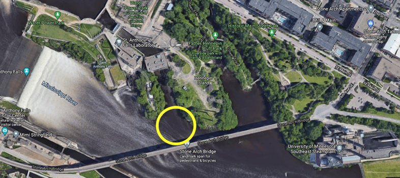
The Drawdown - Power Plant Tailrace
The next area that I will cover is the tailrace of the old power plant just to the west of the areas we have been
talking about. This channel of water is another part of the Hennepin Island Hydroelectric Plant.
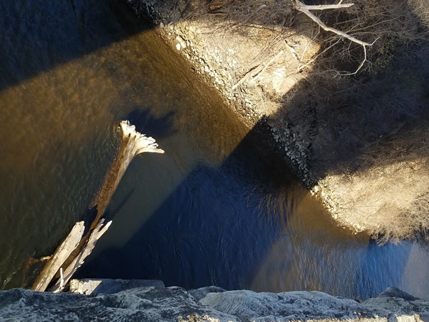
Because of the first channel, I have never really tried fishing this area. Looking at the deep channels, I'm not sure how
good it would have been even if I had. This area was also the area with the most debris
of the entire river. There were logs and steel cables. Even if you had been able to hook
a fish, landing him would have been tough.
So take a look at the pics. You can see bigger versions by clicking them.
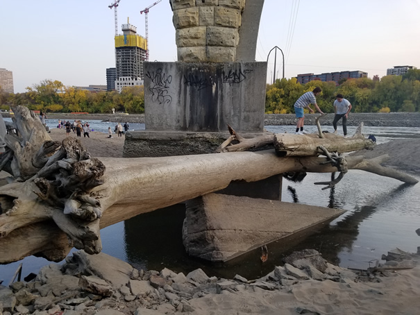
Again, the comparison pictures for this section won't be a 1:1 match. It wasn't worth the swim. On the right, you can see a couple big trees that look like they are temporarily hung up on the bridge. The pic on the left, though, shows that those trees are wedged up against the base of the bridge very well. It is also possible to see how big those trees are. They don't look that big from the top of the bridge.
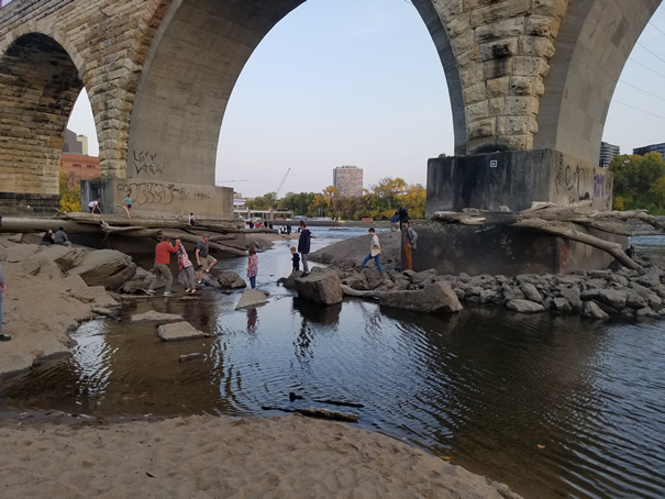
More tree pics! You can see more of how they are wedged up in the base of the bridge. I don't think they are going anywhere soon.
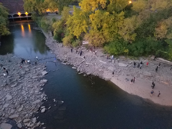
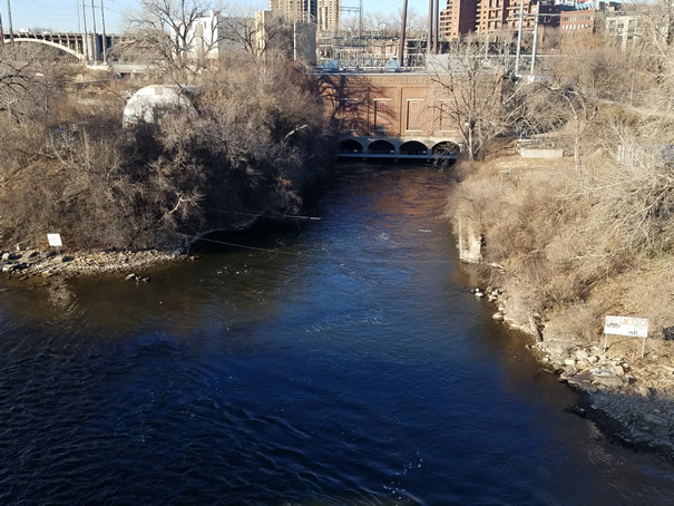
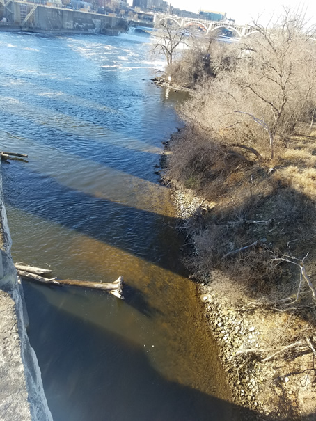
OK, these are not the same exact shot, but the best I could do to show how low the spillway was. The drained pic on the left shows how far down the water had dropped. On the right you can see how far up the water is normally. In the drained pic you can also see a couple small rock bridges people were using to get from one side to the other.
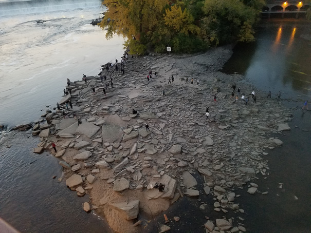
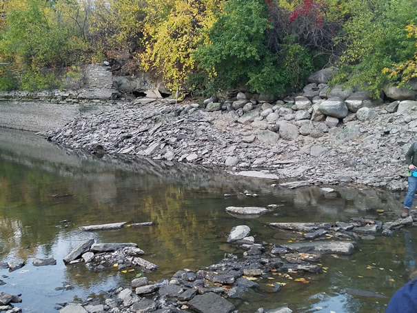
Yes both of the pics are of the drained tailrace. They are pics of each side of the tail race. On the right is a pic of the east bank (and a bit of a rock bridge). The people in the pic on the left are wandering around on the rip rap in front of that point. You can see how big the rocks are and how jumbled up they are.
Below are a lot more pictures of the drawdown from around the tailrace section of the power plant. You can see bigger versions by clicking them.